
Trail Description
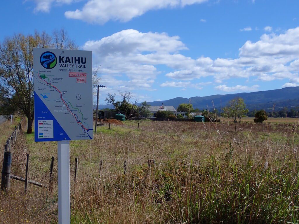
Northland’s newest cycle trail currently takes you through the Kaihu Valley between Dargaville and Kaihu pub.
Two sections of shared pathway are connected by quiet gravel roads, making a total route of approximately 30 kilometers.
The shared path sections pass through farmland, following the historic rail line. Stage 2, still to be completed, will continue along this historic route onto Donnellys Crossing. Currently, users diverge slightly onto Opanake Road, which takes you up over a hill, offering views down to the Kaihu River and across to the Tutamoe Ranges.
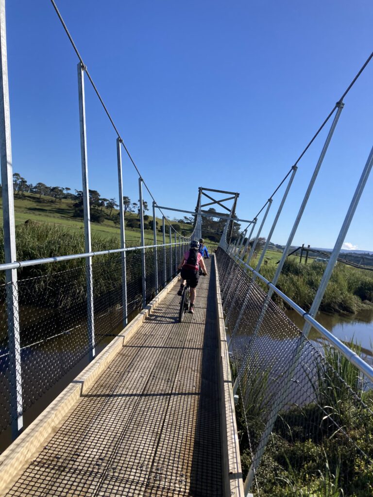
Two suspension bridges allow cyclists and walkers to cross the river just north of Dargaville and then again at Ahikiwi at the northern end. The surface is primarily compacted gravel with squeeze bars at the various road crossings and entry points.
It is a Grade 2 ride suitable for e-bikes, mountain bikes, and gravel bikes.
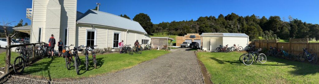
You can ride it just one way if you have organised a lift back or stop for a drink and bite to eat at the Kaihu pub before returning the way you came. The return trip is 60 km with around 450 meters of elevation, so if you are on an e-bike, make sure you use your battery wisely. If starting in Dargaville, there is parking along Station Road near the intersection with Hokianga Road or in the center of town, which is only a few blocks away.
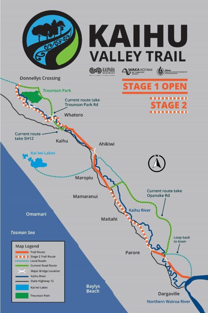
Trail Map
NOTE: Clicking on a Komoot map will take you to a more detailed overview of the ride. You will be able to view basic data, or you can sign up for free to view full details. If you download the Komoot app, you can navigate the trails on your mobile device. Komoot also provide a GPX file.
Trail Website
Further information about the history of the trail and updates about future stages can be found on the Kaipara District Council website, Kaihu Valley Trail.